
- Sailing Croatia tips
-
by Ultra Sailing Team
We have checked for you and made a list of apps and tips for sailing in Croatia where you can book your berth as a practical guide for smarter itinerary planning and safer sailing.
Planning a sailing vacation along the Croatian coast is one of the most rewarding ways to explore the Adriatic. With hundreds of islands, well-equipped marinas, and countless hidden bays, the real challenge is not where to go, but how to plan your route efficiently and safely.
Today, modern sailing apps make sailing itinerary planning in Croatia much easier than it was a few years ago. They help you find the right berth, understand local conditions, and stay ahead of the weather. In this guide, you will find a refined selection of reliable tools that are actually useful on a week or two-week charter in Croatia, without overloading you with unnecessary options.
Stress reaches its highest level when the weather forecast announces bad weather and then even the most experienced ones give up of anchoring in small bays and look for a safe place.
Table of Contents
Why apps matter when sailing in Croatia
Even though every charter yacht comes equipped with a plotter and up-to-date nautical charts, these systems are primarily designed for navigation. They will not tell you how well a bay is protected from the Bora, whether mooring buoys are available, or what kind of experience you can expect in a marina.
This is where mobile apps come in. They add a layer of real-world, practical information that helps you make better daily decisions while sailing.
Most charter guests also rely on pilot books such as 777 Harbours and Anchorages of the Eastern Adriatic, which remains a valuable reference. However, apps bring something extra: live feedback, updated contacts, and real-time availability insights, which are crucial during the busy summer months.
Finding berths and planning your route
Navily
Navily remains one of the most widely used apps among sailors in the Mediterranean, and it is particularly useful along the Croatian coast.
It provides detailed information about bays, anchorages, and marinas, with a strong focus on user-generated reviews. This is especially valuable in Croatia, where wind exposure can completely change the comfort of a location.
You can quickly check whether a bay is safe in certain wind conditions, how many mooring buoys are typically available, and what other sailors experienced regarding pricing and service. In some marinas, you can also send berth requests directly through the app.
For most charter guests, the free version is more than sufficient for day-to-day planning.


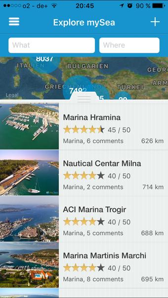
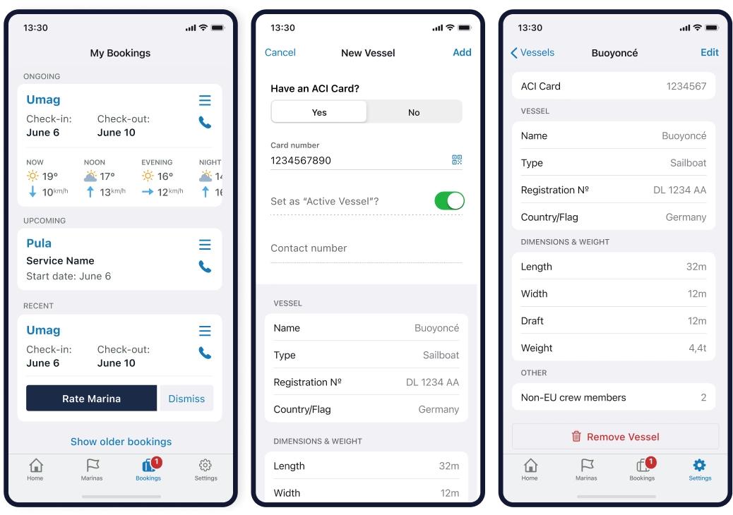
mySea
Another very useful app for berth reservations is mySea, which has become increasingly popular across Croatia and the wider Adriatic.
Unlike community-based platforms, mySea is focused on direct reservations with marinas and buoy fields, while also offering useful information about destinations, bays, and even restaurants along your route. This makes it especially valuable during the high season, when availability can be limited and securing a berth in advance saves both time and stress.
The interface is simple and reliable, and confirmations are usually straightforward, which makes it a strong complement to Navily when planning your itinerary.
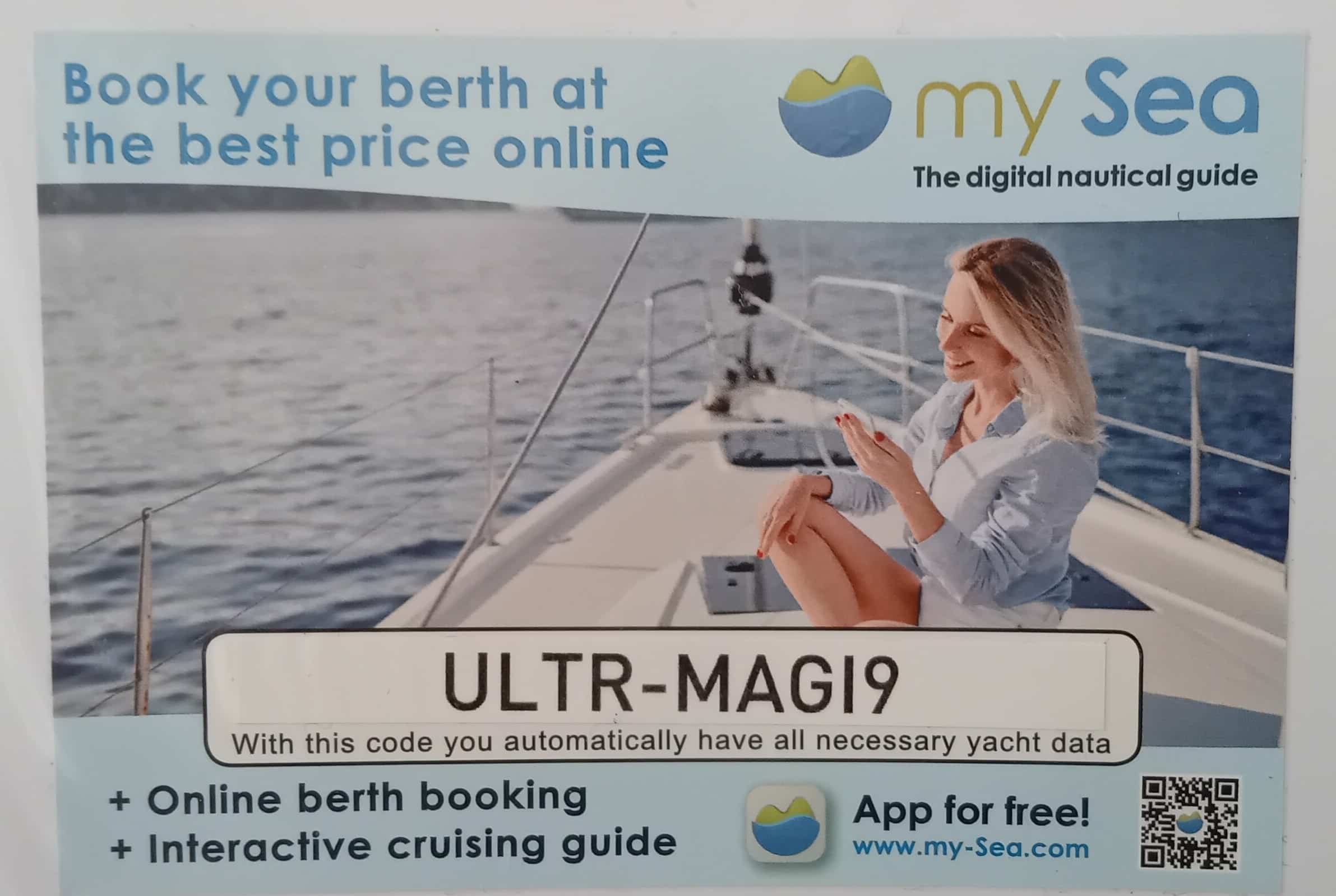

To make the process even easier, all of our sailing boats and catamarans come with a dedicated mySea code included in the boat documents. By entering or scanning this code, you instantly get all the necessary technical details of your yacht, such as length, beam, and draft, allowing you to complete a reservation quickly and accurately, even directly through the mySea platform.
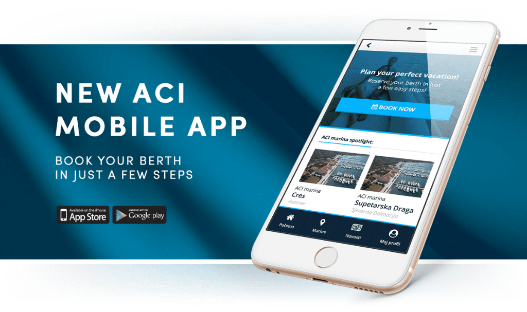
ACI Marinas
When sailing in Croatia, it is important to understand the role of ACI Marinas, the country’s largest marina network.
Many of the most sought-after berths, especially in prime locations, belong to ACI. Their official reservation system, available via web and mobile access, is often the most reliable way to secure a berth in advance, particularly in July and August.
Even if you use other apps, checking availability directly with ACI can be a smart step when planning your itinerary.

NIS – Nautical Information Service Croatia
The nautical Information Service – NIS app, developed by the Croatian Ministry of Maritime Affairs, remains an important source of official and safety-related information.
The app includes navigation rules, emergency contacts, port authority details, and an overview of marinas and fuel stations. It also provides weather data sourced from the national meteorological service.
While it is not typically used for daily route planning, it serves as a reliable backup for regulations, safety procedures, and official notices, which can be particularly useful for skippers.


Weather forecast for sailing in Croatia
Weather plays a central role in every sailing itinerary in Croatia. Wind systems like Bura and Jugo can significantly affect sea conditions, even during summer.
For that reason, it is always recommended to check forecasts daily and compare multiple sources before making decisions about your next destination.
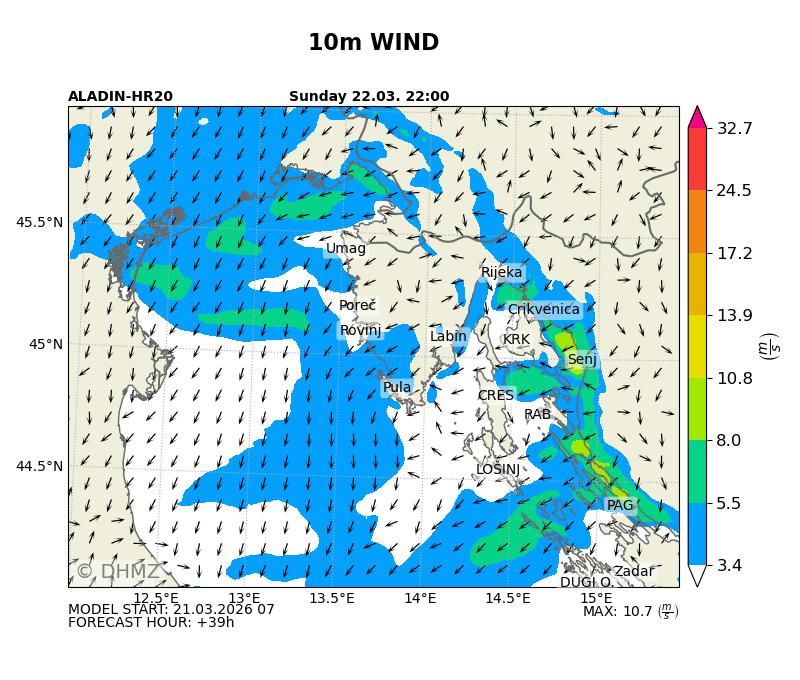
Windy
Windy has become one of the most trusted tools for sailors thanks to its clear visual presentation of wind patterns and weather models.


It allows you to track wind strength and direction across the Adriatic, which is especially helpful for understanding how conditions will develop throughout the day.
Windfinder
Windfinder complements Windy by offering more location-specific forecasts, including detailed predictions for individual marinas, channels, and islands.
It is particularly useful for quick checks when you already have a destination in mind.
DHMZ
For the most authoritative data, the Croatian Meteorological and Hydrological Service provides official marine forecasts via meteo.hr.
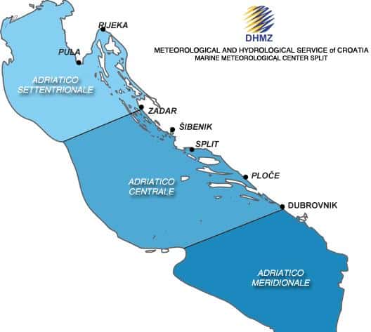
Although less visually intuitive than modern apps, it remains a highly reliable source for warnings and detailed forecasts specific to the Adriatic.
Practical tips for sailing itinerary planning in Croatia
When planning your route, flexibility is just as important as preparation. The best sailing itineraries are not fixed in advance but adapted daily based on weather and availability.
A good approach is to combine tools rather than rely on just one. For example, you might explore anchorages on Navily, secure a marina through mySea or ACI, and confirm weather conditions using Windy, Windfinder, and DHMZ.
If strong winds or unstable weather are expected, choosing a marina or a well-protected harbor is always the safer option. On calm days, mooring buoys and anchorages offer a more relaxed and authentic experience.
Using the right apps will not replace good seamanship, but they will significantly improve your sailing experience in Croatia. They help you plan smarter routes, avoid unnecessary stress, and make better decisions on the water.
With a combination of reliable berth planning tools and accurate weather forecasts, you can focus on what really matters: enjoying the freedom of sailing along one of the most beautiful coastlines in the world.